Cutting down trees in the Iron Range
Written on December 8th, 2022 by Abbey Yatsko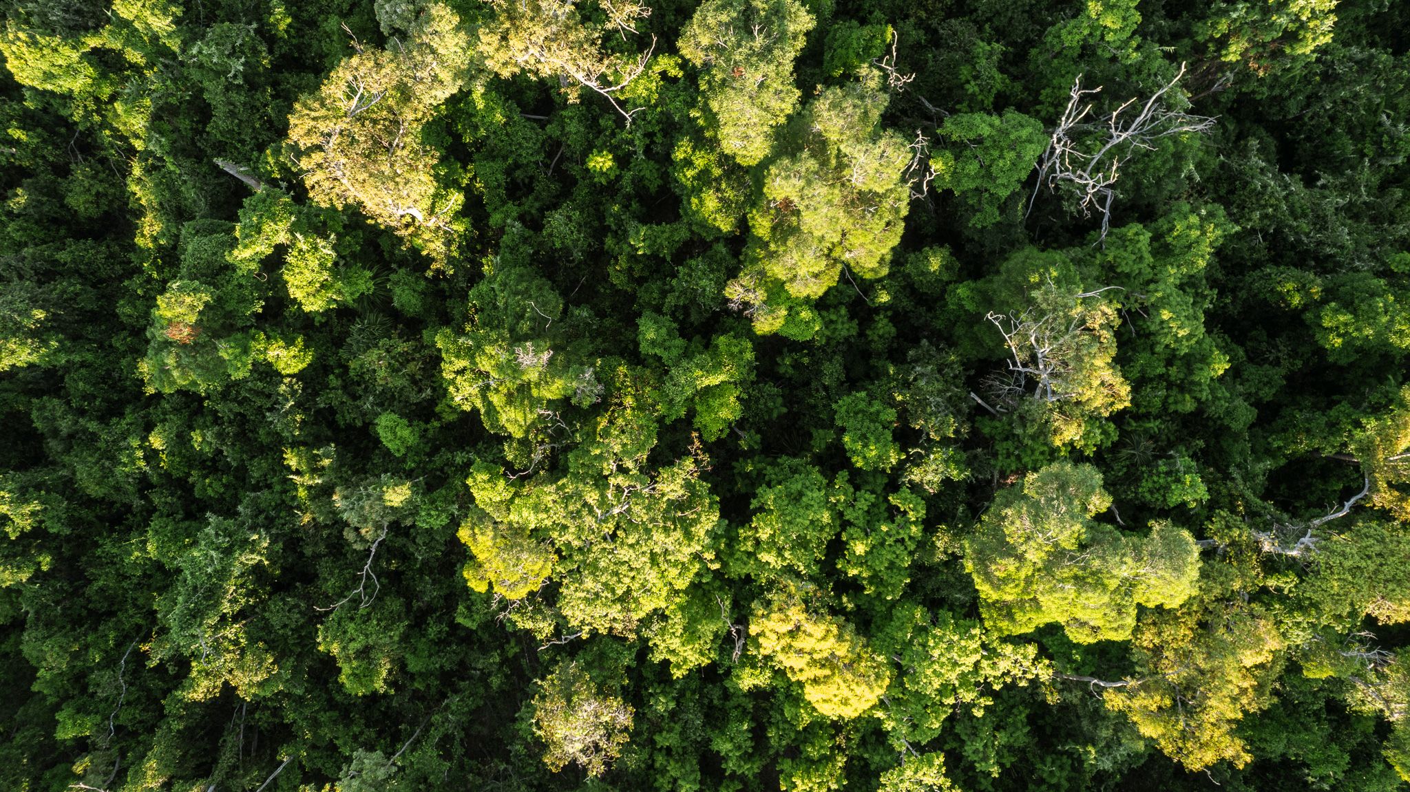
What makes us humans value a forest? Is it the inherent beauty of a soaring canopy, the interwoven labyrinth of plant and animal interactions, or the wealth of knowledge that still remains to be uncovered amongst the trees?
These abstractions can be hard to quantify, which invites a more numeric method for understanding the trees. we can think about the value of forests in terms of carbon storage, and this is the basis of forestry carbon credits.
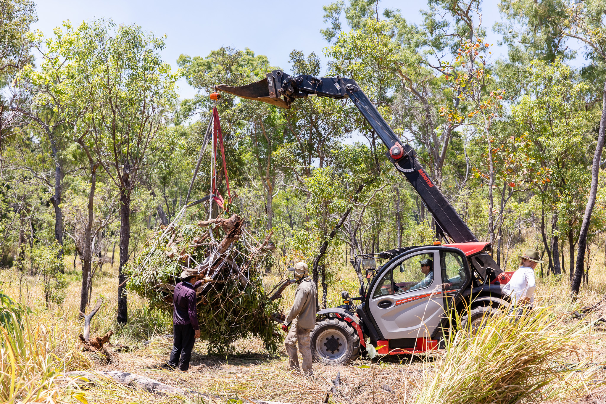
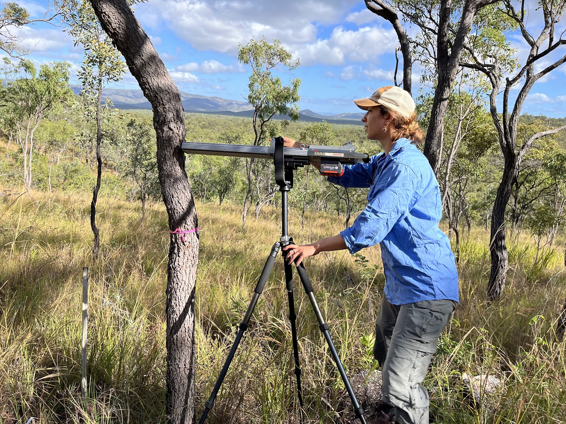
How do we figure out how much carbon trees store? The first step is to apply highly accurate remote sensing, terrestrial-based LiDAR, to closely reconstruct tree architecture and biomass. Then, we ground-truth the data. Teaming up with Arbor Meta in a brilliantly beautiful slice of the planet, the Iron Range of Far North Queensland, we tested how accurately LiDAR scans predicted tree biomass the old fashioned way - cutting them down and scaling them up.
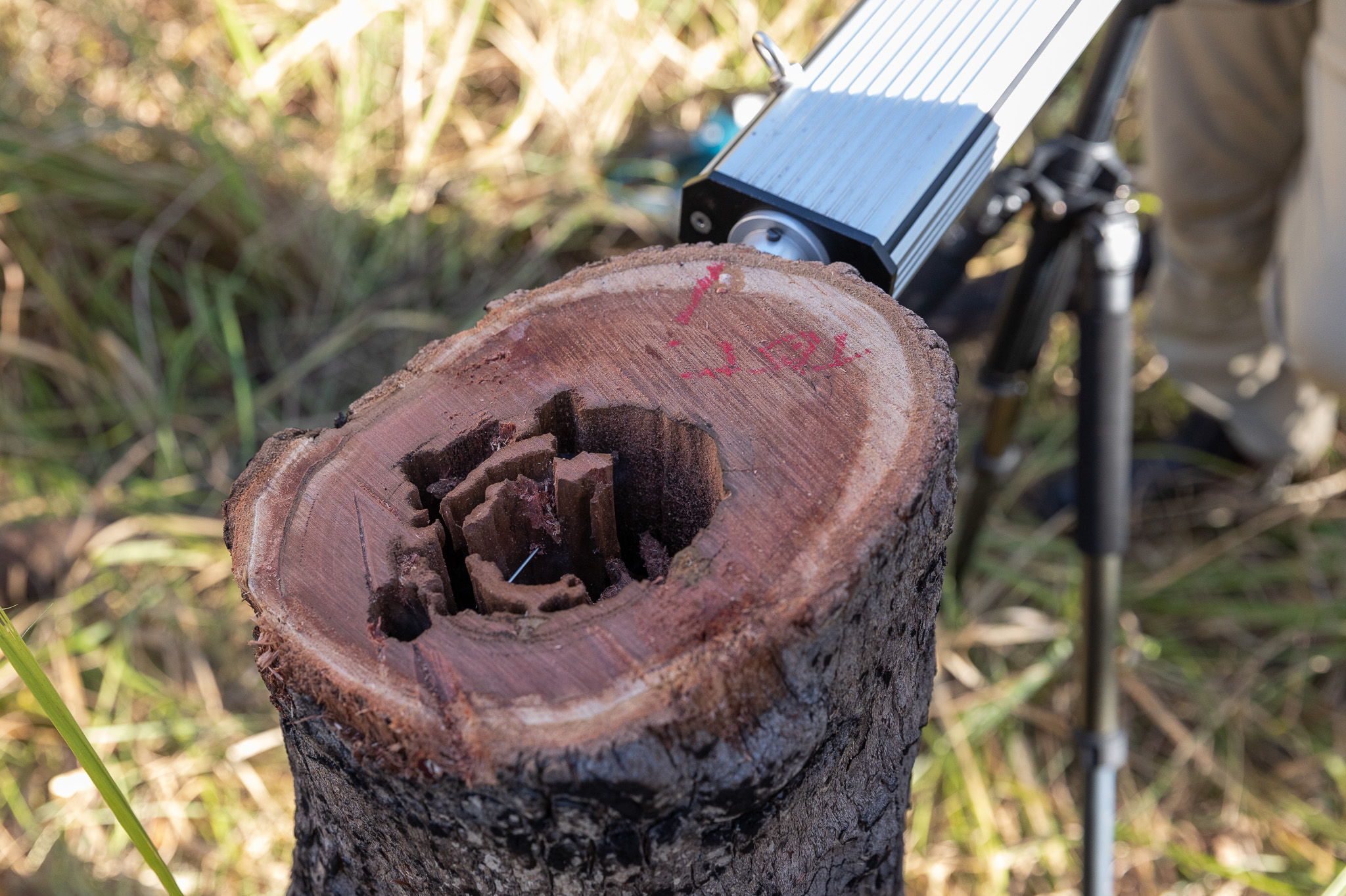
Amidst the chainsaws and crane scales, we used this opportunity to explore patterns of internal tree stem damage from termites and fungi. The full story is still unfolding, but from our preliminary data, trees are not as solid as they seem from the outside. In my dissertation, I will build on this study to quantify how internal damage may change the carbon value of trees.
The team encapsulated a true sense of wonder about the interworkings of our world. Novel angles on climate research melded with many curious, articulate minds. Without a doubt it is exciting to picture how our findings will shape emerging carbon economy schemas.
 Photos of the process courtesy of Indi Gambold
